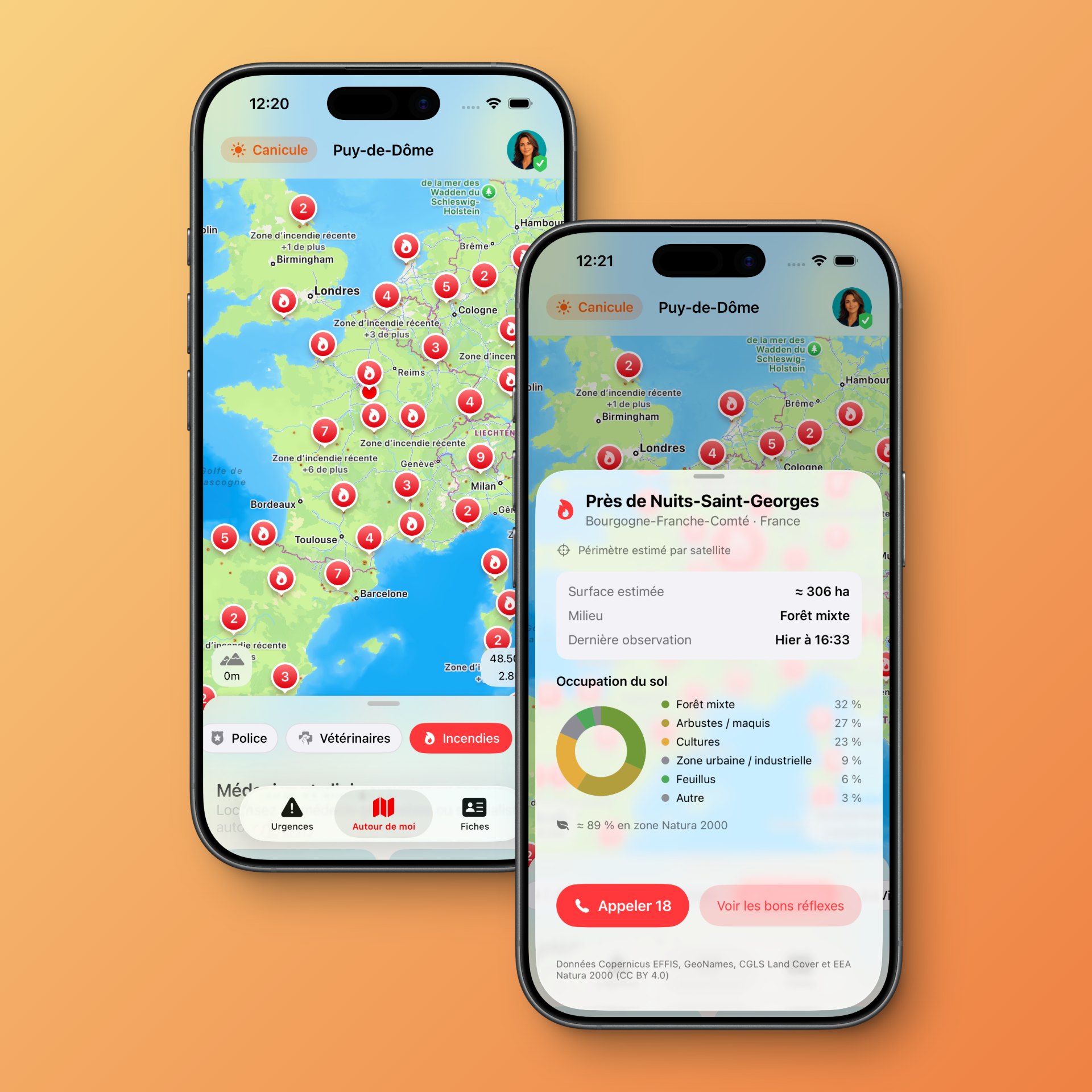
Emergency 6.2 is now available on the App Store. This update strengthens information around wildfires, prevention and recently burned areas, at a time when the risk of forest and vegetation fires now affects a growing part of France and Europe.
Extreme heat, dry soils, wind and human carelessness can quickly create the conditions for a fire to start. Emergency’s goal remains simple: help everyone find the right numbers, the right actions and useful information faster when a situation becomes critical.
A 6.2 version designed around current wildfire risks
Wildfires are one of the major risks of the summer season. In France, Météo-France recently reported an exceptional level of forest fire danger, with risks extending far beyond the usual Mediterranean areas. The French Ministry of the Interior also reminds the public that 9 out of 10 fires are caused by human activity, making prevention essential.
In this context, Emergency 6.2 improves access to information related to wildfires and prevention. The app does not replace authorities, emergency services or official instructions, but it helps keep practical information close at hand when you need to react quickly.
Recent wildfire areas displayed on the map
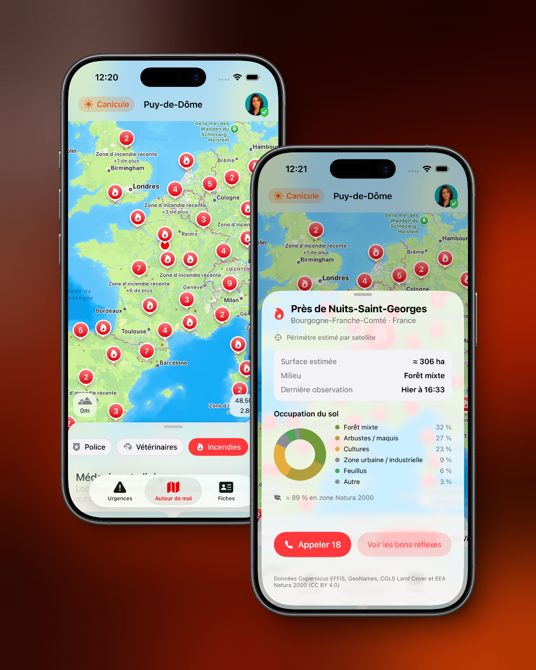
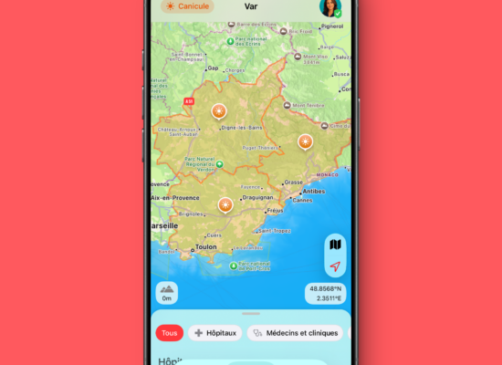
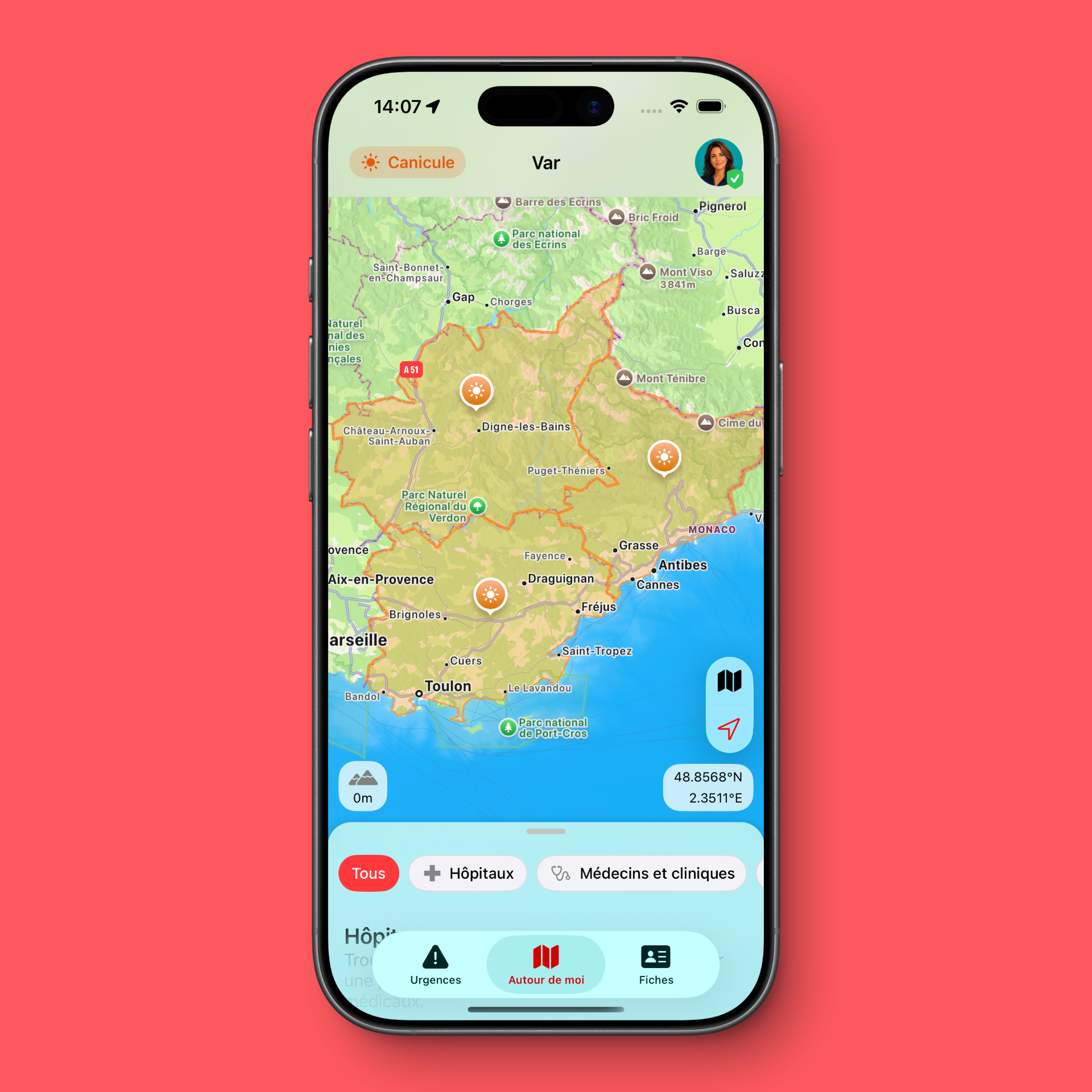
With Emergency+, the app can display recently mapped burned areas on the map using data from Copernicus EFFIS, the European Forest Fire Information System.
This data makes it possible to display satellite-estimated perimeters. It is important to understand what this means: it is not real-time tracking of an active fire, nor an operational confirmation from firefighters, nor an evacuation instruction. A displayed area corresponds to a recently detected and mapped burned area.
This distinction is intentional. Emergency uses clear and careful wording: the app refers to a burned area or a satellite-estimated perimeter, not an “active fire”. The goal is to inform without creating confusion with official alerts.
Data from Copernicus EFFIS
The wildfire information used by Emergency is based on EFFIS, the European Forest Fire Information System from the Copernicus programme. This data is produced from satellite observations and specialised processing.
In Emergency, this data is processed server-side before being displayed in the app. The feed used makes it possible to represent recent perimeters across Europe and around the Mediterranean basin, with a data freshness logic and cautious display when information is unavailable or not recent enough.
The chosen approach is deliberately defensive: if data is missing, too old or incomplete, the app avoids presenting it as certain. For an emergency assistance app, it is better to display less information than to show ambiguous or misleading data.
Location, environment type and land cover
Emergency 6.2 also enriches the detail sheets linked to burned areas. When an area is available on the map, the app can display additional information such as the approximate location, the country, the nearest municipality when the information is reliable enough, or the type of environment affected.
The app can notably distinguish between several types of land cover: forest, vegetation, agricultural land, urban area or other environments. This distinction matters, because not all detected areas necessarily correspond to a forest fire. Some may involve agricultural land, peri-urban areas or other burned surfaces.
Here again, the editorial choice is to remain factual. Emergency does not invent locations and does not exaggerate the nature of an event. If confidence in the location is low, the detail sheet remains more general.
A Natura 2000 indication when relevant
Version 6.2 can also indicate when a burned area intersects with a Natura 2000 site. Natura 2000 is Europe’s major network of protected natural areas, created to preserve habitats and species of European interest.
In Emergency, this information is displayed factually, for example as an approximate percentage of the affected area. Its purpose is not to assess the ecological severity of a fire or replace environmental expertise. It simply provides additional context when a burned area affects a sensitive natural site.
This information can be useful to better understand the environment around a fire, especially in tourist regions, forested areas or places close to protected natural spaces.
Useful information, but not an official alert
Emergency 6.2 displays useful information, but one principle must remain clear: in the event of a wildfire, smoke, visible danger or local instructions, official information always takes priority.
You must follow instructions from the prefecture, firefighters, local authorities, gendarmerie or police. In case of immediate danger, call emergency services.
In France, the essential numbers include:
- 18 for the fire brigade;
- 112 as the European emergency number;
- 114 by SMS for deaf or hard-of-hearing people, or people who cannot speak.
Wildfire prevention: key habits to remember
Since most fire outbreaks are linked to human activity, prevention remains the first safety measure. During periods of high risk, a few simple habits can help prevent a tragedy:
- do not throw cigarette butts on the ground or out of a vehicle window;
- avoid barbecues, fires or flames outdoors when the risk is high;
- do not use tools that may produce sparks near dry vegetation;
- do not park a vehicle on tall or dry grass;
- respect access bans in forest areas;
- check official prefecture instructions before going out in an exposed area;
- call emergency services immediately in case of smoke, a fire outbreak or danger.
These gestures are simple, but they matter. A fire can spread very quickly, especially in windy, dry or extremely hot conditions.
An enriched map to better understand what is around you
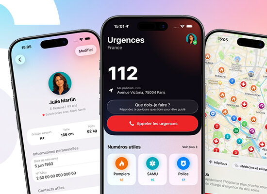
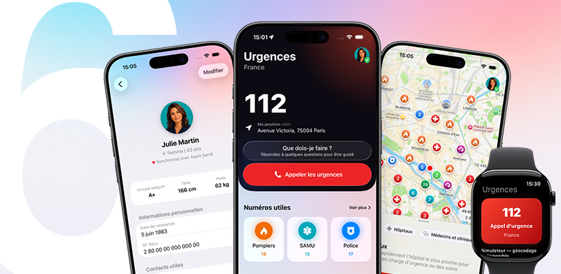
Emergency’s map already helps users find useful places nearby: hospitals, pharmacies, defibrillators, police, fire stations, veterinarians and other points of interest depending on the country and available data.
With wildfire-related information, the map becomes even more useful during a crisis or while travelling. It can help visualise a recently burned area, understand the local context and quickly find emergency points of interest nearby.
This approach is especially relevant on holiday, when travelling through an unfamiliar region, or in areas exposed to forest and vegetation fires.
Bug fixes and improved reliability
Emergency 6.2 also includes several bug fixes and stability improvements. These changes are less visible than a new feature, but they are essential for an emergency assistance app.
The app must remain simple, fast and reliable. Each update aims to reduce friction, improve the display of information and strengthen overall stability, especially on the map and geolocated features.
Why install Emergency 6.2?
This version is recommended for all users. It improves access to useful information during wildfire periods, strengthens prevention, adds context around recently burned areas and fixes several issues.
Emergency does not claim to replace emergency services or official tools. It simply helps you better prepare your iPhone, find the right numbers faster, consult useful information and keep important medical data accessible.
Emergency 6.2 is available now on the App Store.